11th Sep, 2019 10:30 GMT/BST
Books, Maps & Ephemera
75
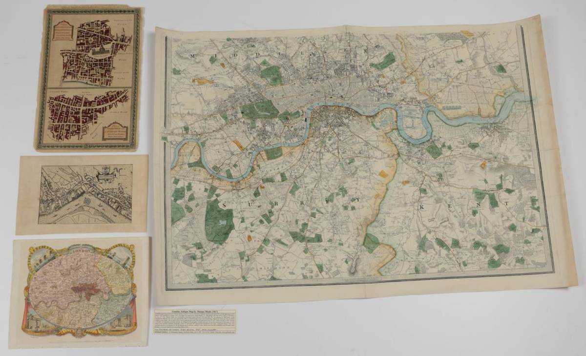
London Four London maps comprising: Plans of Baynards Castle and Faringdon Wards and Candlewick and
London
Four London maps comprising:
Plans of Baynards Castle and Faringdon Wards and Candlewick and Langborn Wards, 1784. Two hand-coloured plans from Thornton's New & Complete History and Survey of London.
Schmollinger, W.S. Environs of London, c.1836. Hand-coloured map from Moule's English Counties.
After Speede, John, Later undated enlargement after a vignette map of Westminster from Middlesex.
Anon Large plan of London, centered on the Thames, from Islington to Croydon and Chiswick to Barking, c.1850 [features Lewisham Station (opened 1849) and Norwood Station (renamed Norwood Junction in 1856). Hand-coloured, lower sheet only with no upper border, presumably two sheet map when completely as it has three other borders).
Sold for £30
Estimated at £60 - £80
Sell one like this
If you've got a similar item to sell, complete the valuation form below and one of our experts will get in touch.
